Upon receiving details on the Area of Interest (AOI) from the client, the field and its surrounding areas are assessed to see if they are fit for using drones. Everything is planned at this stage; from checking for no-fly-zones to evaluating the time required for data processing.
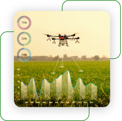
Once the planning is done, drones are flown over the AOI. These drones fly using software that guides their trajectory. This software allows us to make the flight plan and feed in parameters like speed and altitude as desired.
During the flight, drones capture images that have a 70% overlap and sidelap. In the processing stage, the images are processed through image mosaicking software to attain a seamless map of the AOI. This map is then used for further analysis.
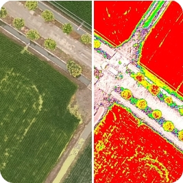
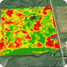
Data analysis of the information picked up by the drone is presented in the form of a report to our client. This report helps in understanding the current crop health and enables farmers to react on time to improve the growth conditions. It also improves crop management and increases the chances of better yield.


